Giles Darkes
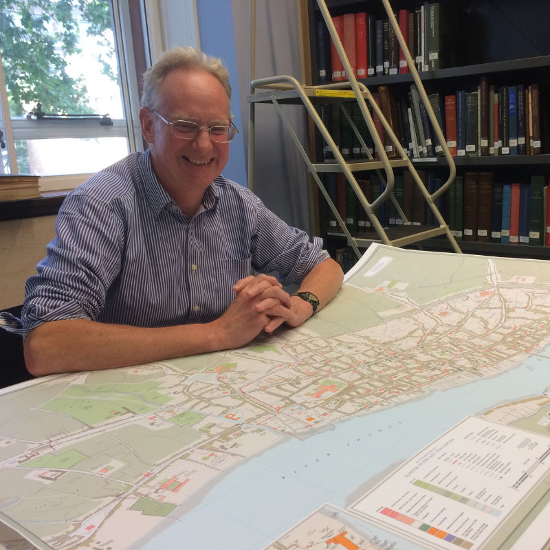
Giles Darkes is a professional cartographer. He trained in geography and cartography and specialises in thematic and historical mapping. Formerly a university lecturer in cartography, he has worked on a range of cartographic projects including the Atlas of the World’s Languages and An Historical Atlas of Oxfordshire as well as a range of map illustrations for books and articles. As Cartographic Editor for the Historic Towns Trust, he is in charge of creating the maps for the Trust’s publications, adding the historical information and for the design and layout of the maps and atlases.
Join Our Mailing List
By submitting this form you agree to our Privacy Policy and to receive marketing emails, including e-newsletters and event updates from Bradford Literature Festival.