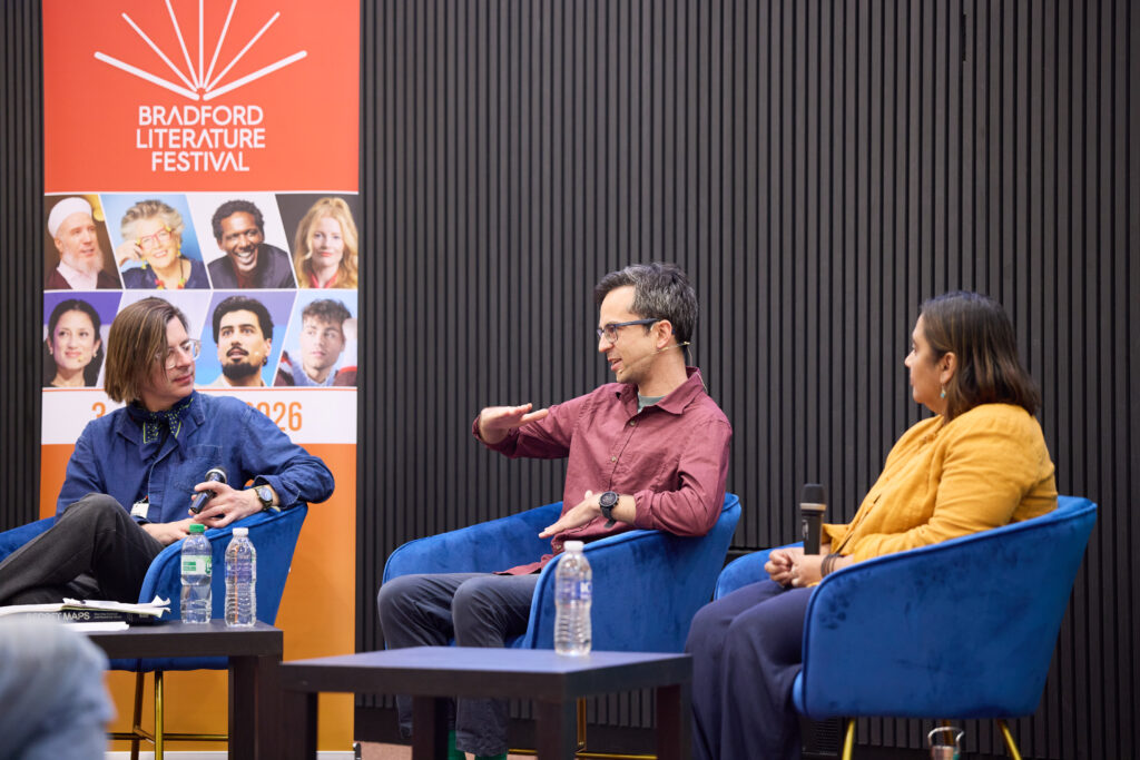
In partnership with the British Library, Bradford Literature Festival hosted a panel about how maps shape power, identity, territory and belonging. The panel consisted of Dr Pragya Agarwal, visiting professor of social inequities and injustice at Loughborough University and fellow at University of Cambridge, and Maxim Samson, independent researcher and author. It was chaired by author Travis Elborough.
The three were brought together to build upon the British Library’s 2025 Secret Maps exhibition and accompanying book.
The discussion began with the panellists talking about the definition of the word ‘maps’, and how it has changed over time. Samson said, “One of the reasons for this is that, in the past, different maps had different locations as the ‘centre’ of the world, depending on where that map was created or the nationality of the creator.” He went on to say that maps also mean different things to different people, and historically have been drawn differently depending on the creator’s viewpoint. Dr Agarwal then gave the example of some historical maps of New Zealand, which gave measurement in canoe lengths.
The panel went on to discuss how maps can help orient people and can be used to tell a story. Dr Agarwal said, “Look at the Ivory Coast, which is quite literally named for being a coastal area where ivory is found. Similarly, the Gold Coast in Australia.” The panel also discussed how maps were also created as a way of saying ‘I made it here first’; maps told a story of discovery, of one culture finding another.
Moving on to discussing the United States of America, Samson talked about how maps of settlers there were based upon ridges, and showed migration routes of the people who lived there. He said, “The Native Americans, as well as the early migrants, used to move across the country depending on the seasons, fleeing the cold and seeking warmth in winter months.
“Where these ridges met was where people settled once technology had advanced to an extent that weather no longer forced people to migrate with the seasons. Look at Chicago, a city built at the intersection of many different migration and trade routes.”
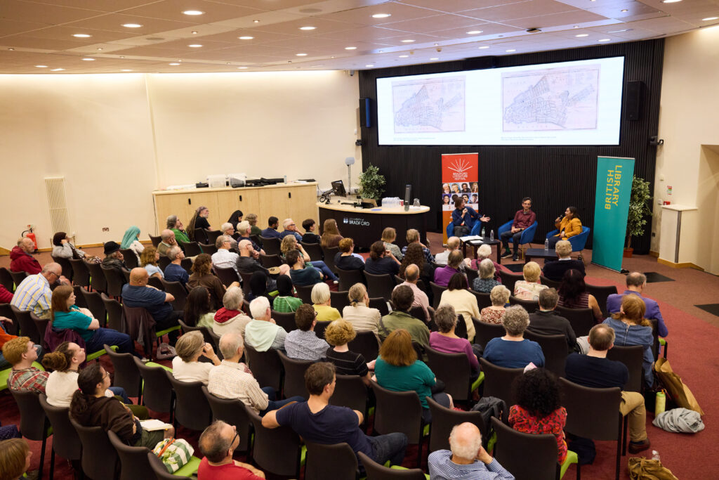
The panel then went on to discuss how modern cities such as Chicago and New York haven’t been built based on the geography of the land upon which they sit, but are built in much more rigid grid systems, in opposition to the natural lay of the land.
Dr Agarwal gave the example of the British creating New Delhi: “They found the city built based upon the layout of the land but then imposed a rigid structure and ‘order’ upon it. By doing this, they not only forced the locals to move in order to continue to be able to make a living – their farmlands, for example, were replaced with houses and roads – but they erased a large part of their identity.”
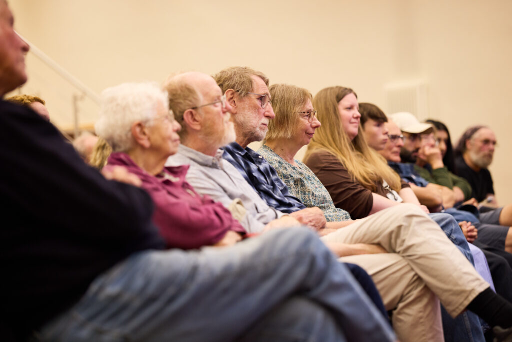
The talk was well attended, with an engaged audience asking lots of fantastic questions to the panel during the Q&A session that followed the discussion. The event helped set the tone for the festival to follow, with expert speakers entertaining enraptured audiences.
Secret Maps: How They Conceal and Reveal the World is available to purchase from Waterstones now: https://www.waterstones.com/book/secret-maps/tom-harper/nick-dykes/9780712355643